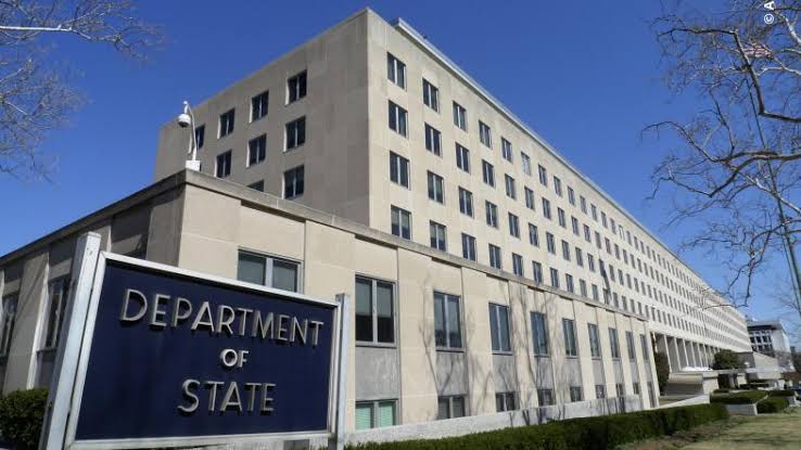
The United States Department of State has apologized after displaying an incorrect map of Africa during a presentation at the AIDS 2026 Conference in Rio de Janeiro, Brazil.

The map, which highlighted six countries, Nigeria, Mozambique, Uganda, Côte d’Ivoire, Malawi, and Cameroon, wrongly identified their locations. Nigeria was depicted as landlocked, while other countries were misplaced across the continent.
Images of the slide quickly spread online, drawing criticism from observers and conference attendees.
In a statement, a State Department spokesperson described the incident as “an unfortunate error,” blaming it on last-minute edits made to the presentation. The department accepted full responsibility and apologized to participants, including African partners.
According to Reuters, the map contained multiple inaccuracies affecting all the countries shown, with some placed in entirely wrong regions of Africa.
The incident has raised concerns about quality control in official U.S. presentations and broader engagement with African countries. Analysts also noted that the slide appeared to carry an artificial intelligence watermark, although officials have not confirmed that AI tools were responsible for the mistake.
The erroneous map was presented during a session at the global AIDS conference before the error was publicly acknowledged.